Picture credits
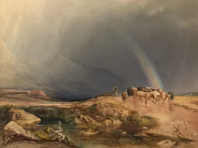
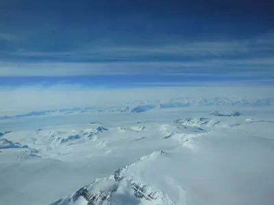
The diagrams are our own. The photos, paintings and old maps are public domain or CC0 on Wikimedia Commons, cropped and resized with no other changes.
Photos, paintings and maps
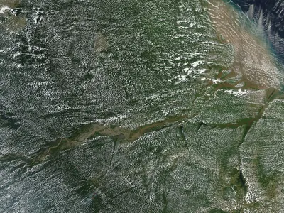 Afternoon Clouds over the Amazon Rainforest.jpg
by NASA, Jeff Schmaltz, MODIS Rapid Response, Public domain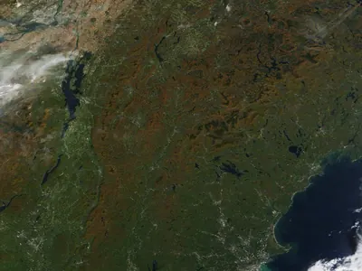
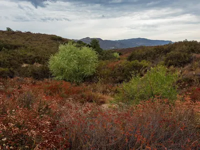
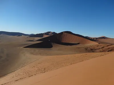
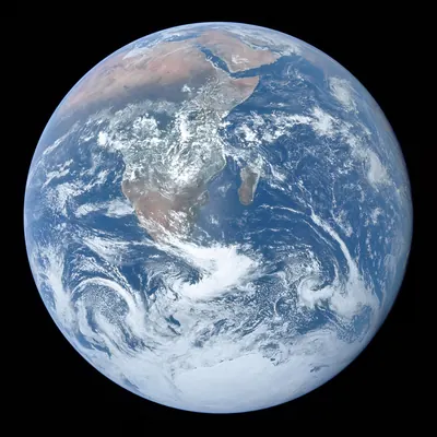
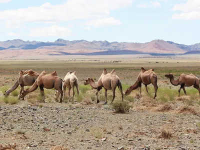
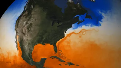
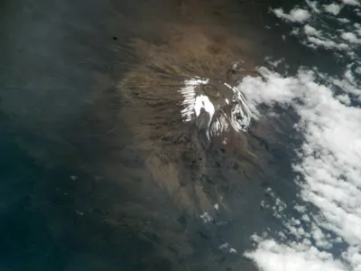 Mount Kilimanjaro Closeup (4708 - ISS006-E-45499 lrg).jpg
by NASA, ISS astronaut photograph, Public domain
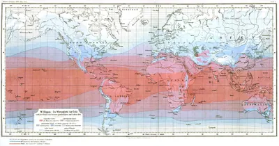
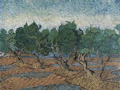
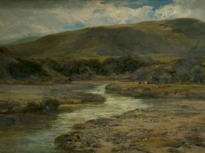
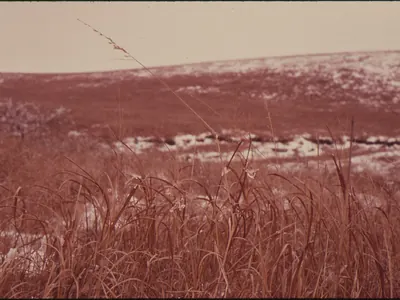
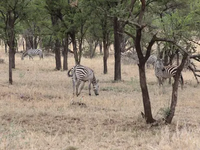
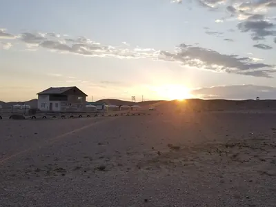
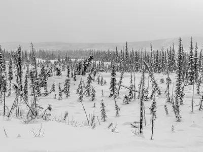
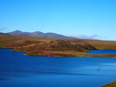
Our own diagrams
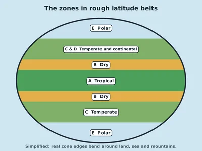 Simplified drawing of Earth striped in bands: tropical A at the equator, dry B either side, temperate and continental C and D in the middle latitudes, and polar E at the top and bottom
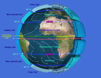
Our own drawing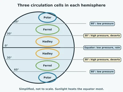 Diagram of Earth with lines at 0, 30 and 60 degrees north and south and three loops of air in each hemisphere, labelled Hadley, Ferrel and Polar, with high pressure and deserts at 30 degrees and low pressure at the equator and 60 degrees
Our own drawing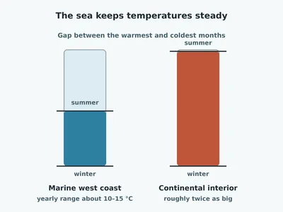 Two bars comparing the gap between summer and winter temperatures: a short bar for a marine west coast, about 10 to 15 degrees, and a bar about twice as tall for a continental interior at the same latitude
Our own drawing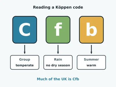 The Köppen code Cfb in three big letters: C means the temperate group, f means no dry season, b means a warm summer; much of the UK is Cfb
Our own drawing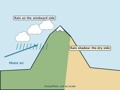 Drawing of moist air blowing up one side of a mountain, making clouds and rain there, with a dry, sandy rain shadow on the far side
Our own drawing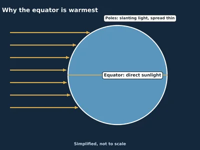 Drawing of parallel sun rays hitting a round Earth: they strike the equator straight on and the poles at a slant, spread over more ground
Our own drawing
The diagrams are simplified teaching drawings, not to scale, and the Climate Maker and games are our own code. Landscape photos show what a kind of climate can look like; they are not a precise climate code for that exact spot. Useless the eraser is the network’s own mascot. Fonts: Bricolage Grotesque, Newsreader and Kalam (SIL Open Font Licence), served from this site.